


This summer, scientists mapped more than 20,000 square miles in the Gulf of Mexico. The red lines indicate newly mapped areas of the continental shelf.
Illustration: Chuck Carter/Paul Morin
Illustration: Chuck Carter/Paul Morin
One of the most interesting things we came across in the past week, was an article in Wired Magazine called Foreigners Keep Out! High Tech Mapping Starts to Redefine International Borders. It describes how new underwater mapping technologies are being used by nations to claim a bit of extra territory, even if it’s all way underwater.
We’re interviewing the article’s author, Geoffrey Gagnon, in the last segment of the show today, so tune in to find out more.
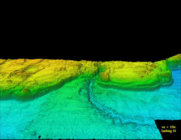
And click here to see more underwater maps like this one:
-Justin